GeophysicalModelGenerator.jl
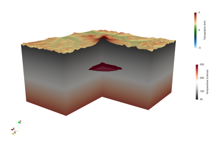
A typical problem in geodynamic modelling of natural systems is to create model setups that are consistent with a wide range of published geological and geophysical data. In some cases, seismic tomography models are available in digital format, but in many other cases not and we are left with cross-sections in published papers. Visualizing all this data in 3D in a consistent manner is a prerequisite for creating 3D model setups that honor the observations. In our experience, this can be rather time consuming, also because the data comes in different formats.
For this reason, the MAGMA team has developed
GeophysicalModelGenerator.jl, which is an open-source package written in
julia that significantly simplifies the process of collecting data, visualizing them in 3D, creating cross-sections or even creating Vote-Maps which highlights consistent features between different tomographic models of the same region. With a single line of code, you can import screenshots of cross-sections or maps of published papers and visualize them in 3D together with the rest. This significantly simplifies the process of creating
Have a look at the tutorials, and let us know if you have comments/suggestions!
Boris Kaus
Professor of Geodynamics and Geophysics, JGU Mainz
I am interested to understand geological processes, and predominently do that by developing and comparing computer simulations with available constraints.